

Metro Manila, other areas told to brace for ‘habagat’ winds

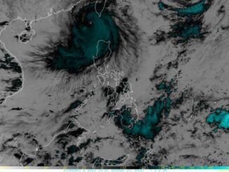
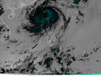
MANILA, Philippines — Carina, downgraded into a typhoon, slammed into Taiwan late Wednesday after unleashing heavy rains and strong winds across the northern Philippines. where it triggered severe flooding and landslides that killed six.
LIVE updates: Typhoon Carina
The cyclone, which briefly reached super typhoon intensity, has left a trail of destruction as it continues its march toward southeastern China.
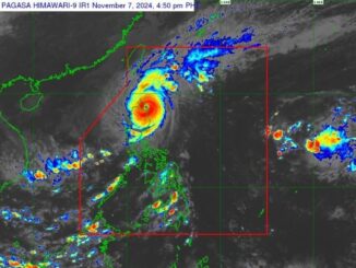
As of early Thursday morning, Carina was crossing Taiwan with maximum sustained winds of 150 kilometers per hour (kph) and gusts up to 250 kph, according to the state weather agency PAGASA.
The typhoon is forecast to exit from the northern bounds of the Philippine area of responsibility, emerge over the Taiwan Strait later today before making a final landfall in China’s Fujian province by evening.
Rainfall and severe winds
In the Philippines, the southwest monsoon, or habagat, enhanced by Carina is still likely to dump moderate to intense rainfall in the western portion of Luzon from Thursday through Saturday.
PAGASA said habagat will also bring strong to gale-force gusts over coastal and upland areas:
July 26. Batanes, Babuyan Islands, Ilocos Region, Cordillera Administrative Region, Nueva Vizcaya, Quirino, the eastern portion of Isabela, Central Luzon, Metro Manila, CALABARZON, MIMAROPA, Bicol Region, Western Visayas, Negros Occidental, and Northern Samar
July 27. Batanes, Ilocos Region, Zambales, Bataan, Marinduque, Romblon, and Kalayaan Islands.
Warning signals
Batanes is now under Signal No. 1, with winds of 39 to 61 kph in the next 36 hours.
Tropical cyclone warning signals have been lifted elsewhere.
Be the first to comment