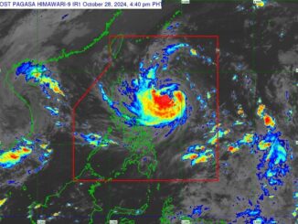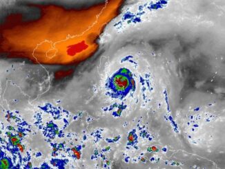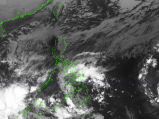
MANILA, Philippines — Metro Manila and other parts of Luzon remain under a red rainfall warning as Super Typhoon Carina (international name: Gaemi) begins to exit the Philippine Area of Responsibility, according to the Philippine Atmospheric, Geophysical and Astronomical Services Administration (PAGASA) on Wednesday.
In its 5:00 p.m. advisory, PAGASA said that a red warning was still hoisted over Metro Manila, Rizal, Bataan, Zambales, Bulacan and Pampanga. This means serious flooding is expected, and residents should take necessary precautions.
Tarlac is the only area under an orange warning, indicating threatening flood levels.
A yellow warning has been issued for Cavite, Batangas, Laguna, Nueva Ecija and Quezon province (General Nakar, Real, Infanta, Mauban, Sampaloc).
PAGASA also said that light to moderate, occasionally heavy rains, will likely affect parts of Quezon in the next three hours, including: Candelaria, Dolores, San Antonio, Sariaya, Tiaong, Tayabas, Lucban, Lucena, Pagbilao, Agdangan, Alabat, Atimonan, Buenavista, Burdeos, Calauag, Catanauan, General Luna, Guinayangan, Gumaca, Jomalig, Lopez, Macalelon, Mulanay, Padre Burgos, Panukulan, Patnanungan, Perez, Pitogo, Plaridel, Polillo, Quezon, San Andres, San Francisco, San Narciso, Tagkawayan and Unisan.
Tropical Cyclone Wind Signal (TCWS) No. 2 is still in effect in Batanes.
TCWS No. 1 is hoisted over Babuyan Islands, northern Cagayan (Claveria, Santa Praxedes, Sanchez-Mira, Pamplona, Abulug, Ballesteros, Aparri, Camalaniugan, Buguey, Santa Teresita, Santa Ana, Gonzaga), and northern Ilocos Norte (Burgos, Bangui, Pagudpud, Dumalneg, Adams).
Carina was last spotted north of Itbayat, Batanes. It is moving northwestward at 20 kilometers per hour, with maximum sustained winds of 185 kph near the center and gustiness of up to 230 kph.


Be the first to comment