


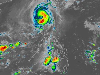
MANILA, Philippines — While there is still a possibility of intensifying into a tropical depression, the low pressure area (LPA) off Surigao del Norte is expected to dump rains in areas in Visayas, Mindanao and Southern Luzon, the state-run weather agency said on Wednesday.
Weather forecaster Robert Badrina of the Philippine Atmospheric Geophysical and Astronomical Services Administration (Pagasa) said the LPA was last spotted some 200 kilometers east-northeast of Surigao City, Surigao del Norte.
“We have not yet ruled out the chance of this weather disturbance to develop into a tropical depression in the coming days,” Badrina said.
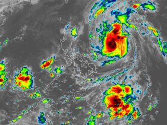
But as an LPA, it would likely dump rains until the weekend over Bicol Region, Eastern Visayas, Northern Mindanao, Caraga, Davao Region, Isabela, Aurora, Quezon, Marinduque and Romblon, Pagasa said in its 5 a.m. bulletin.
Meanwhile, the southwest monsoon locally known as “habagat” is affecting the rest of Mimaropa (Mindoro, Marinduque, Romblon and Palawan) where overcast skies with scattered rain showers and thunderstorms would prevail.
The same weather system is bringing isolated downpours or thunderstorms over Metro Manila and the rest of Calabarzon (Cavite, Laguna, Batangas, Rizal and Quezon), the state weather bureau said.
The rest of Luzon, on one hand, will be experiencing partly cloudy to cloudy skies also with isolated rain showers or thunderstorms due to the localized thunderstorms within 24 hours, Pagasa said.

Be the first to comment