


MANILA, Philippines — Several areas in Northern and Southern Luzon are under Signal No. 1 due to Typhoon “Carina,” which has maintained its strength while moving over to Philippine Sea, the state-run weather agency said on Tuesday.
Those affected include Batanes, Babuyan Islands, the northern and eastern portions of mainland Cagayan (Santa Ana, Gattaran, Baggao, Peñablanca, Lal-Lo, Gonzaga, Buguey, Santa Teresita, Aparri, Camalaniugan, Ballesteros, Allacapan, Abulug, Pamplona, Claveria, Sanchez-Mira, Santa Praxedes, Lasam and Alcala), the eastern portion of Isabela (Divilacan, Palanan, Maconacon, Dinapigue, Tumauini, Ilagan City, San Mariano, Cabagan, San Pablo and Santa Maria), the northern portion of Apayao (Calanasan, Luna, Pudtol, Flora and Santa Marcela), the northern portion of Ilocos Norte (Pagudpud, Bangui, Adams, Dumalneg, Burgos and Vintar), the northern portion of Aurora (Dilasag and Casiguran), Polillo Islands, Calaguas Islands and the northern portion of Catanduanes (Pandan, Bagamanoc, Panganiban, Viga, Gigmoto and Caramoran).
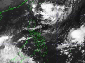
Moving north-northwestward at 10 kilometers per hour (kph), the center of Carina’s eye was last spotted some 380 kilometers east of Aparri, Cagayan, the Philippine Atmospheric Geophysical and Astronomical Services Administration (Pagasa) said in its 5 a.m. bulletin.
It has maximum sustained winds of 130kph near the center and gustiness of up to160kph.
Likely to exit the Philippine Area of Responsibility either Wednesday night or early Thursday morning, the typhoon has been forecast to move generally north-northwestward while gradually accelerating before turning northwestward on Wednesday.
On the track forecast, Carina will remain far from the Philippine landmass, according to the latest advisory.
In the next 24 hours, Pagasa said Carina and the enhanced southwest monsoon or “habagat” will bring moderate to rough seas over the northern and eastern seaboards of Northern Luzon and the eastern and western seaboards of Central and Southern Luzon.
Habagat will also bring moderate to intense rainfall over various localities in the western portion of Luzon, including Metro Manila until Thursday, the state weather bureau said.


Be the first to comment