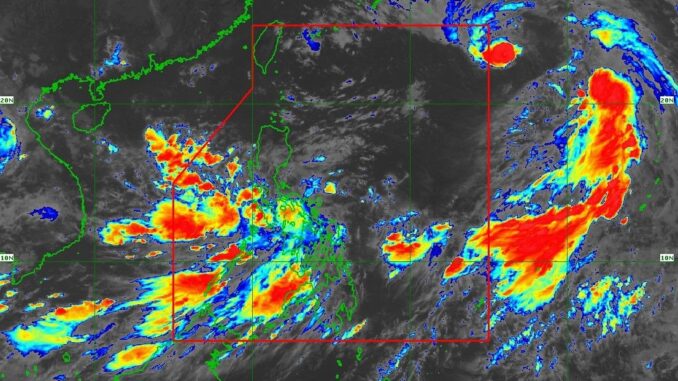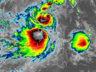
MANILA, Philippines — “Bebinca” has weakened into a tropical storm and remains outside the Philippine area of responsibility (PAR), said the weather bureau on Friday.
Bebinca is estimated to be 1,500 kilometers east of extreme Northern Luzon, with maximum sustained winds of 85 km/h near the center and gustiness of 105 km/h, Pagasa said. The tropical cyclone is moving north northwestward at km/h.
“Bebinca is forecast to enter the PAR region this afternoon or evening, then exit the PAR region tonight or tomorrow early morning. Throughout the forecast period, Bebinca will remain far from the Philippine landmass,” said Pagasa.
However, Bebinca is still expected to enhance the southwest monsoon, bringing rain to different parts of the country.
A heavy rainfall warning has been issued in parts of Antique, Iloilo, Negros Occidental, and Bohol.
Bebinica is forecast to remain as a tropical storm during its stay in the PAR and Pagasa said that it could further weaken.
However, Bebinca could intensify once it does out into the East China Sea, and may even become a typhoon.
Sea conditions
Pagasa said that the following seaboards could experience moderate to rough seas ranging from 1.5 to 3.5 meters: The seaboards of Palawan, the western seaboard of Western Visayas, the western seaboard of Negros Island Region, the southern seaboard of Negros Island Region, the southern seaboard of Central Visayas, the southern seaboard of Eastern Visayas, the northern, eastern, and western seaboards of Caraga Region, the northern seaboard of Northern Mindanao, the northern and western seaboards of Zamboanga Peninsula, and the eastern seaboard of Davao Region.
“Mariners of motorbancas and similarly-sized vessels are advised to take precautionary measures while venturing out to sea and, if possible, avoid navigation under these conditions,” said Pagasa.


Be the first to comment