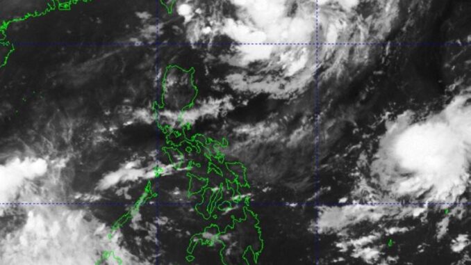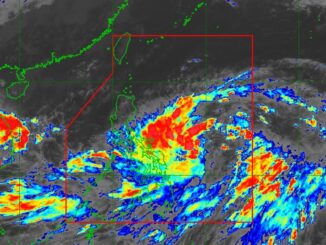
(UPDATE) THE cloud clusters over Northern Luzon would likely develop into a low-pressure area (LPA) and eventually a tropical depression over the weekend, the Philippine Atmospheric Geophysical and Astronomical Services Administration (Pagasa) said on Thursday.
Weather specialist Benison Estareja said the tropical cyclone would be named Julian, the sixth storm to hit the country this month and 10th this year.
Estareja said Julian was likely to stay only over Batanes.
Pagasa is also monitoring another LPA, but it has a slim chance of entering the Philippine Area of Responsibility (PAR).
“This may intensify into a tropical depression, just the same, this would not directly affect the country as it may go away from the PAR region,” Estareja said.
In the meantime, the inter-tropical convergence zone (ITCZ) — an imaginary line where the air from the southern and northern hemispheres meets — is affecting Palawan, Visayas and Mindanao.
The ITCZ will bring scattered and isolated showers in these areas in 24 hours.
Metro Manila and the rest of the country would have partly cloudy to overcast skies but due to the localized thunderstorms.


Be the first to comment