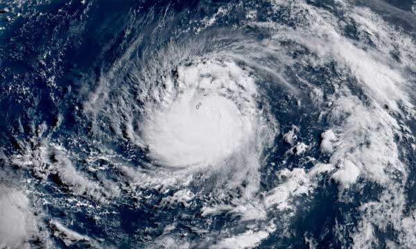
A low pressure area (LPA) monitored in the east of extreme Northern Luzon developed into a tropical depression locally named as ‘Igme’ with tropical cyclone wind signal no. 1 raised over the province of Batanes.
As of 5:00 PM on Friday, state weather bureau PAGASA attributed the heavy rainfall outlook across parts of Luzon to the southwest monsoon rains enhanced by ‘Igme.’
The weather disturbance was monitored moving northwestward at 15 kilometers per hour with maximum sustained winds of 55 km/h near the center and gustiness of up to 70 km/h. The eye of the storm was estimated at 530 kms east northeast of Itbayat, Batanes.
‘Igme’ is forecast to move generally west northwestward until Sunday morning before turning north northeastward for the rest of the forecast period. On the forecast track, a landfall and passage over the Taiwan area is not ruled out.
PAGASA said ‘Igme’ may exit the Philippine area of responsibility by Sunday. It was earlier reported that a rainy weekend will prevail over parts of Luzon. ‘Igme’ will likely remain as a tropical depression and may gradually weaken into an LPA by Monday early morning.


Be the first to comment