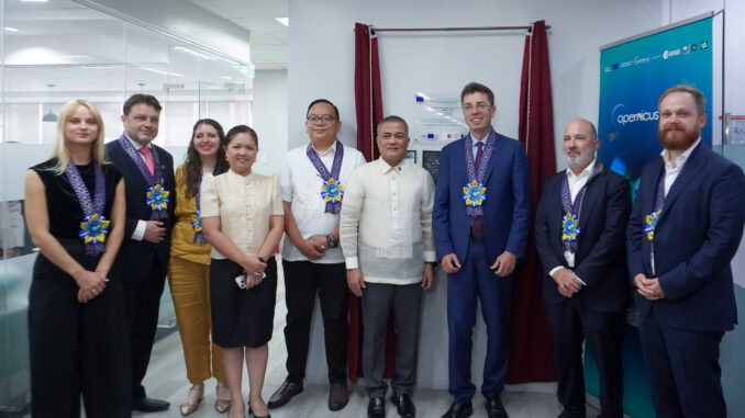
The Philippine Space Agency (PhilSA), the European Union (EU), and the Department of Science and Technology (DOST) have launched the CopPhil (National Copernicus Capacity Support Action Programme).
This project will be the first Copernicus Earth observation data storing and processing facility in Asia.
The launch is likened to “first light,” a concept in astronomy which means the first time a telescope was used.
The program will have three components: monitoring land cover, marine environments, and ground motion.
This means Filipino scientists would now have eyes on changes on land use, forest cover, seismic activities, land subsidence, coral bleaching events, among others.
As tackled in a panel session during the Asia-Pacific Ministerial Conference on Disaster Risk Reduction (APMCDRR), CopPhil — and better use of satellite data – can help the country shift from merely assessing potential hazards to anticipating the extent of damage that will result from an impending disaster.
“European satellites will provide the image of the Philippines in real time,” EU Ambassador to the Philippines Massimo Santoro said.


Be the first to comment