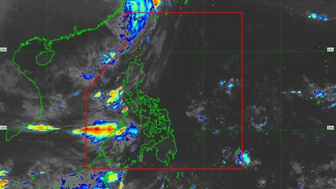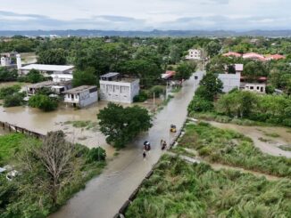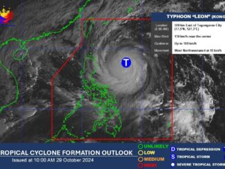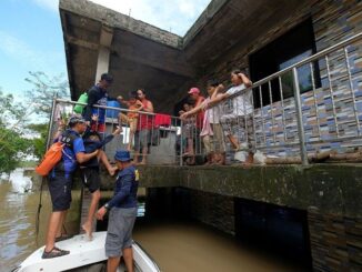
MANILA, Philippines — Cyclone Leon (international name: Kong-Rey) has downgraded to a severe tropical storm as it moved out of the Philippine area of responsibility.
As of 4 a.m. on Friday, November 1, PAGASA said Leon was spotted 550 kilometers north-northwest of Itbayat, Batanes.
Moving northward at 20 kilometers per hour as it heads toward the East China Sea, Leon was carrying peak winds of 100 kph near the center, gustiness of up to 140 kph.
The state weather bureau lifted tropical cyclone wind signals in areas affected by Leon.
Even if Leon exited PAR, PAGSA said its wind circulation will still bring strong to gale-force gusts to parts of Northern Luzon.
Strong to gale-force winds will likely affect Batanes, Babuyan Islands, northeastern mainland Cagayan and eastern Isabela on Friday.
PAGASA also issued a gale warning for Northern Luzon waters, warning seafarers about potentially dangerous sea conditions in the following areas:
- Up to 4.5 meters: Batanes seaboard
- Up to 4 meters: Babuyan Islands seaboard
- Up to 3.5 meters: mainland Cagayan seaboard
- Up to 2.5 meters: seaboard of Northern Luzon and western seaboard of Zambales
- Up to 2 meters: western seaboard of Southern Luzon, western seaboards of Bataan, eastern seaboard of Central Luzon, Southern Luzon, Visayas and Mindanao


Be the first to comment