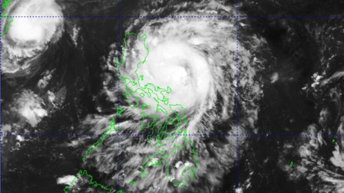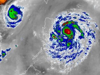
Two more tropical cyclones are expected to enter the Philippine Area of Responsibility (PAR) this week, according to state weather bureau PAGASA on Sunday.
In a press conference, PAGASA administrator Nathaniel Servando said that aside from Severe Tropical Storm Nika, they are also monitoring two more vortices which may be named “Ofel” and “Pepito”, respectively, should they enter the PAR.
“Of course, it’s too far, too early pa, but DOST-PAGASA will continue monitoring closely hindi lamang ang Nika but ang potential na dalawa pang vortices na maaaring pumasok sa Philippine Area of Responsibility between November 10 to November 16,” Servando said.
(Of course, they’re too far still and it’s too early to say, but DOST-PAGASA will continue monitoring closely not only Nika but the potential two other vortices that may enter the Philippine Area of Responsibility between November 10 and November 16.)
According to the PAGASA official, Ofel may make a landfall by November 14 or 15, while Pepito’s landfall may be between November 16 and 17.
Interior Secretary Jonvic Remulla said local government units were advised to implement a mandatory evacuation across 2,500 barangays in the Ilocos Region, Cagayan Valley, and Cordillera Administrative Region (CAR) that are prone to landslides.
With the recent weather disturbances, he said that the probability that these areas could experience landslides is “very high and imminent.”
“Between November 11 and November 17, we will have three typhoons entering the Philippines, all in the same path. So far, Pepito looks like heading in the same path too, but hindi pa tayo sigurado [but we’re not sure yet],” Remulla said.
“So between [Typhoon] Marce and Pepito, that makes four typhoons in 10 days, following the same trajectory,” he added.
Currently, 11 areas in Luzon are under Tropical Cyclone Wind Signal (TCWS) No. 2 as Nika slightly intensified while moving west.
Nika is expected to reach typhoon category on Sunday and may reach its peak intensity prior to landfall. —RF, GMA Integrated News


Be the first to comment