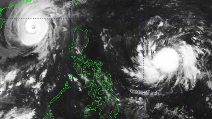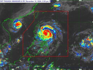
MANILA, Philippines — With the exit of Typhoon “Marce” (international name: Yinxing), the Philippine Atmospheric, Geophysical and Astronomical Services Administration (Pagasa) is now focused on a low pressure area that has just entered the Philippine Area of Responsibility (PAR) early Saturday.
“We are monitoring another form of bad weather inside the PAR” Pagasa weather specialist Daniel Villamil said of the LPA that was spotted at 2 a.m.
As of 3 a.m., the LPA is 1,150 kilometers east of southeastern Luzon, and has a big chance of becoming a tropical cyclone within 12 hours, said Villamil.
However, Villamil clarified that as of the time of the forecast, it did not have any direct effect on the country.
Should the storm intensify into a tropical depression, the storm will be called “Nika.”
“Marce” exited the PAR on Friday afternoon.
Meanwhile, Cagayan and Aurora are expected to be affected by easterlies, according to the state weather bureau.
Easterlies are warm winds blowing from the Pacific Ocean.
The whole country is expected to have partly cloudy to cloudy skies with isolated rain showers or thunderstorms, with Metro Manila and the rest of the country having “generally fair” weather conditions, with rains brought in by localized thunderstorms.


Be the first to comment