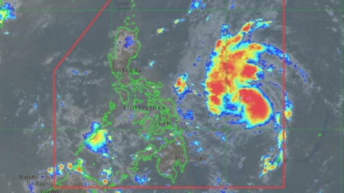
MANILA, Philippines — Tropical Storm Marce has slightly intensified while moving west-northwestward over the Philippine Sea, the Philippine Atmospheric, Geophysical and Astronomical Services Administration (Pagasa) said on Monday.
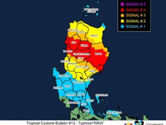
It said Signal No. 1 would likely be raised in Cagayan on Tuesday.
Estimated at 775 kilometers east of Borongan City, Eastern Samar, the tropical storm is moving west-northwestward at 35 kilometers per hour (kph) while packing maximum sustained winds of 75 kph near the center and gustiness of up to 90 kph.
Marce may make landfall in Babuyan Islands or mainland northern Cagayan on Thursday night or early Friday morning.
“Due to uncertainty in the strength of the high pressure area north of Marce, the forecast track may still change and bring the landfall point to mainland Cagayan-Isabela area,” Pagasa administrator Nathaniel Servando said.
Marce was expected to gradually intensify and may reach severe tropical storm category by Tuesday.
“It may also reach typhoon category by Tuesday evening or early Wednesday morning,” Servando said.
Senior weather specialist Chris Perez said Metro Manila will have light to moderate rainfall until the weekend due to the trough of Marce.
“We could also expect moderate to heavy rains due to localized thunderstorms,” he said in a press briefing.


Be the first to comment