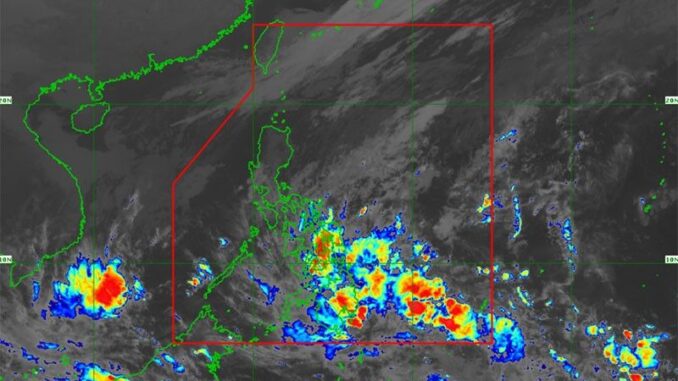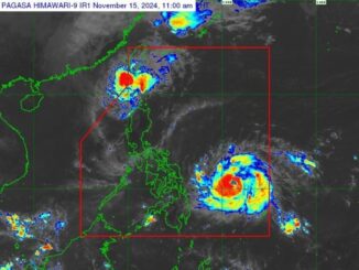
MANILA, Philippines — A cloud cluster being monitored east of Mindanao has developed into a low-pressure area (LPA), the Philippine Atmospheric, Geophysical and Astronomical Services Administration (PAGASA) said yesterday.
It has a “medium chance of development into a tropical depression within the next 24 hours,” the state weather bureau said.
Meanwhile, PAGASA weather forecaster Daniel James Villamil said that the shear line will continue to bring rains in many areas in the country, particularly Southern Luzon.
Villamil added that the intertropical convergence zone (ITCZ) is currently affecting portions of the Visayas and Mindanao, particularly Eastern Visayas, Central Visayas, Northern Mindanao, Soccsksargen, Caraga and Davao regions.
“We advised residents in the affected areas to be on alert for possible flooding and landslides amid the expected continuous rains,” he said.
On the other hand, Villamil said that the northeast monsoon will continue to affect Northern Luzon, Metro Manila and the rest of the country.
The gale warning was hoisted in the coasts of Northern Luzon.
According to Villamil, the ITCZ is usually a breeding ground for LPAs.
“We expect at least one typhoon to enter the Philippine area of responsibility before the year ends,” he said.
On the other hand, PAGASA said moderate to heavy rains or from 50 to 100 millimeters of rains are expected from yesterday until tomorrow noon in Dinagat Islands, Surigao del Norte, Surigao del Sur and Davao Oriental.
The weather bureau added that moderate to heavy rains will persist until Thursday noon in Dinagat Islands and Surigao del Norte.
“Forecast rainfall may be higher in mountainous and elevated areas. Moreover, impacts in some areas may be worsened by significant antecedent rainfall. The public and disaster risk reduction and management offices concerned are advised to take all necessary measures to protect life and property,” PAGASA added.


Be the first to comment