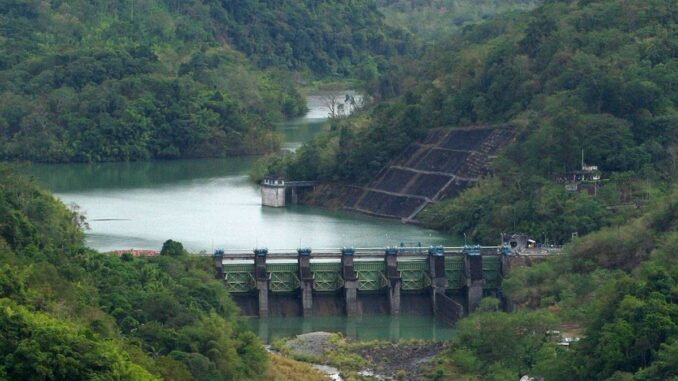
(UPDATE) ANGAT Dam operators are likely to release excess water soon as the reservoir’s water level breaches the normal 212-meter elevation, state weather bureau Pagasa said Friday.
As of 8 a.m., Jan. 3, Angat’s reservoir water level (RWL) was at 213.36 meters, or a deviation of 1.36 m from its normal level.
Philippine Atmospheric, Geophysical and Astronomical Services Administration (Pagasa) chief Nathaniel Servando told The Manila Times that the continued rain on Angat’s watershed areas due to the northeast monsoon (amihan) and shear line largely contributed to the rise in water elevation beyond the normal high water level.
Angat Dam reservoir in Bulacan. MANILA TIMES FILE PHOTO
Pagasa said that amihan is a season of cold, dry air and strong northeasterly winds that blow from the east, while the shear line is the convergence of hot and cold air.
Servando said they would start opening the control gate of Angat Dam, the main source of water supply for Metro Manila residents and irrigation needs for its adjoining provinces, once it reaches 214 m.
“We will slowly release the excess water of the dam so that its impact would be hardly felt by the affected areas, especially in Metro Manila,” Servando said.
Meanwhile, three other major Luzon dams — Ambuklao, Binga and Magat — have their spill gates open, Pagasa’s Hydrometeorology Division announced.
Senior hydrologist Elmer Caringal said Ambuklao Dam in Benguet province has one gate open and started releasing water with an outflow of 97.30 cubic meters per second (cms).
Binga Dam has two spill gates open at 0.80 m opening, Caringal said.
Meanwhile, the Magat Dam in Cagayan province has one control gate opened at 1 meter, discharging 392.89 cms of excess water, he added.
Amihan will intensify
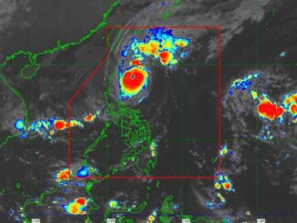
Pagasa said that the northeast monsoon is likely to intensify in the coming days, affecting a big part of the country.
Earlier last month, Pagasa said that colder nights and mornings brought about by amihan would be experienced in January and would persist until the second week of March.
Weather specialist Aldczar Aurelio at 5 a.m. Friday briefing said the northeast monsoon is affecting Batanes in the extreme Northern Luzon with widespread rains.
“Based on our data and analysis, amihan would likely intensify in the coming days and bigger areas all over the country, especially Luzon, would be affected,” Aurelio said.
Meanwhile, the convergence of hot and cold air, or shear line, has been affecting Cagayan, Isabela, Apayao, Kalinga, Mountain Province, Ifugao and Aurora, where scattered rains and isolated thunderstorms would be likely.
Pagasa’s forecast indicated that the easterlies — winds coming from the east and passing through the Pacific Ocean that carry warm and humid temperatures — are also bringing the same weather patterns over Palawan.
Metro Manila and the rest of the country will be experiencing partly cloudy to overcast skies with isolated rain showers or thunderstorms due to the localized thunderstorms.


Be the first to comment