State weather bureau PAGASA on Tuesday said a La Niña condition is now present in the Tropical Pacific, which may cause higher chances of above-normal rainfall over the country.
According to PAGASA, the period of above-average cooling of sea surface temperatures (SSTs) in the Pacific Ocean started in September 2024 and strengthened into La Niña phenomenon in December 2024. It is seen to persist from January 2025 to March 2025.
La Niña is characterized by unusually cooler than average sea surface temperatures in the central and eastern equatorial Pacific (CEEP). It is usually associated with above-normal rainfall conditions.
“With this development, higher chances of above normal rainfall in January – February – March 2025 season is expected, which may cause floods, flashfloods and rain-induced landslides,” said PAGASA.
“Furthermore, increased chance of tropical cyclone activity within the Philippine Area of Responsibility (PAR) during the period is likely,” it added.
READ: Cover story | Scorched Earth, Crying Sky: Tilling the earth amid El Niño and La Niña
The weather bureau also said it will continue to monitor developments related to the climate phenomenon as it advised the public and concerned government agencies to take precautionary measures against La Niña.
In July, PAGASA raised a La Niña alert amid the further cooling of the SST in the central and eastern Pacific Ocean.
However, the weather bureau said earlier this month that the necessary activity threshold has yet to be reached to declare a La Niña season, but added that he country may experience La Niña-like conditions until March.
Weather outlook
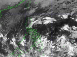
Meanwhile, a report on “Unang Balita” said Tuesday that a shear line and Northeast Monsoon or Amihan will trigger rains over the Philippines.
Amihan may cast partly cloudy to cloudy skies with isolated light rains over Metro Manila, Ilocos Region, and the rest of Central Luzon; and cloudy skies with rains in Cagayan Valley, Cordillera Administrative Region, and Aurora.
Meanwhile, cloudy skies with scattered rain showers and isolated thunderstorms may be experienced over Quezon due to the shear line.
Partly cloudy to cloudy skies with isolated rain showers or thunderstorms may prevail over the rest of the country due to localized thunderstorms.
PAGASA warned the public against possible rain-induced flash floods or landslides in the low-lying areas.
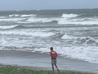
Meanwhile, rough coastal conditions may prevail in the seaboards of northern Luzon. Moderate to rough waters may be experienced in the seaboards of eastern sections of Central, Southern Luzon, and Visayas while the rest of country may experience slight to moderate coastal conditions.
The sun will set at 5:42 p.m. — VDV, GMA Integrated News


Be the first to comment