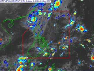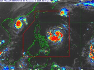
MANILA, Philippines — Tropical Storm Carina is forecast to further intensify, possibly into a typhoon, but is not expected to make landfall over any part of the country, according to the Philippine Atmospheric, Geophysical and Astronomical Services Administration (PAGASA).
Carina was monitored 470 kilometers east-northeast of Virac, Catanduanes as of 3 p.m. yesterday. It was packing winds of up to 65 kilometers per hour near the center and gustiness of up to 80 kph.
It is forecast to intensify at a faster rate by tomorrow and reach typhoon category by Tuesday.
It is moving generally northwestward over the Philippine Sea and has an offshore path far from the Philippine landmass, according to state weather forecasters.
Tropical cyclone wind signal no. 1 over extreme Northern Luzon and the eastern portion of Northern Luzon is not ruled out during Carina’s passage.
Carina and tropical depression Butchoy will still enhance the southwest monsoon.
Butchoy left the Philippine area of responsibility yesterday morning and was monitored 545 kilometers west of Iba, Zambales.
The southwest monsoon will bring moderate to heavy rains over the western portion of Luzon over the next few days. Heavy rainfall directly caused by Carina is less likely.
The monsoon will also bring gusty conditions over Kalayaan Islands, as well as CALABARZON, MIMAROPA, Bicol Region, Western Visayas, Zambales, Bataan and Metro Manila by Monday.


Be the first to comment