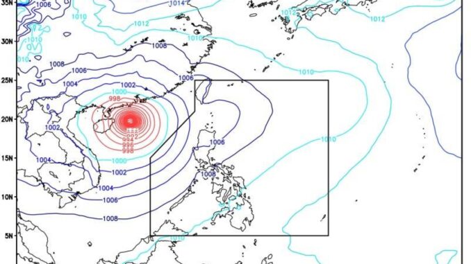
MANILA, Philippines — The trough of Super Typhoon “Yagi”(local name: Enteng), continues to affect extreme Northern Luzon even after the storm has exited the Philippine Area of Responsibility (PAR), the state-run weather agency said on Friday,
Weather specialist Benison Estareja of the Philippine Atmospheric Geophysical and Astronomical Services Administration (Pagasa) said Yagi’s extension was bringing scattered rain showers and thunderstorms over Batanes and Babuyan Islands.
Meanwhile, the Pagasa forecaster said there was a “strong possibility” that the two weather disturbances being monitored have the potential to develop into tropical depressions and enter PAR over the next two weeks.
Estareja said, however, that the two weather disturbances may not be as strong and that landfalls could be remote although the forecast may still change.
In its 5 a.m. advisory, the state weather bureau said the southwest monsoon (“habagat”) would bring occasional rains over Zambales, Bataan and Pangasinan and scattered downpours and thunderstorms over Metro Manila and nearby provinces.
The rest of the country will experience partly cloudy to overcast skies with isolated rain showers or thunderstorms within 24 hours due to the localized thunderstorms, it added.


Be the first to comment